
- calendar_today August 26, 2026
Pinpoint Weather Alert Issued in Colorado
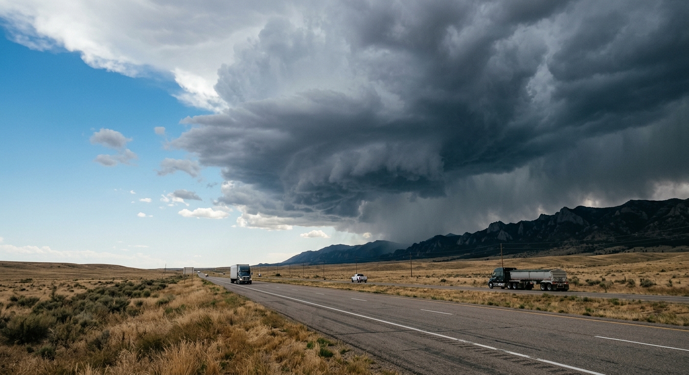
Denver and surrounding Colorado communities are under a Pinpoint Weather Alert Day as meteorologists warn of the potential for severe storms Wednesday evening. After a bright, sunny start with temperatures rising into the mid-80s, conditions in the region quickly shift as increased cloud cover develops along the I-25 corridor, ushering in a heightened risk of dangerous weather.
Severe Storms Take Aim at the Metro Area
The primary concern during this weather event is the onset of severe storms that are forecast to sweep eastward across the Denver area as evening approaches. Residents could encounter gusty winds and the threat of hail, prompting local authorities and weather officials to issue timely weather updates. The potential for rapid storm development also means that afternoon storms could arrive with little warning, underscoring the importance of staying alert.
Flash Flood Warning for Vulnerable Areas
Amid the active weather forecast, a flash flood warning has been extended for the Aspen Acres burn scar, a high-risk zone for sudden flooding due to reduced soil absorption. Emergency management teams across Colorado are closely monitoring these areas, urging residents to take extra precautions and remain informed about evolving storm risks. These warnings are particularly crucial for communities living near burn scars, where extreme weather can quickly escalate into hazardous conditions.
Rising Temperatures and Weather Outlook
Once the threat of storms passes after midnight, skies over the region are expected to partially clear, leading to overnight lows in the upper 50s and calming winds. The weather outlook for Thursday indicates even warmer conditions, with temperature highs projected to reach the upper 80s. Despite largely dry weather, there remains a slight chance of isolated afternoon storms late in the day. By Friday and Saturday, Denver and the greater Front Range can expect highs climbing into the 90s, marking a period of unseasonably warm weather for early summer.
Lunar Eclipse and Events on the Horizon
In addition to the active weather, local astronomy enthusiasts are looking forward to a partial lunar eclipse visible on Thursday night. With mostly clear skies expected, observers across Denver and Colorado may have prime viewing conditions as the moon slips into Earth’s shadow. This event comes amid a welcome break from the week’s tumultuous weather activity.
Storm Risks Persist into Next Week
Although the current pinpoint weather alert is scheduled to subside with drier conditions later in the week, meteorologists caution that scattered storms could make a return early next week. While model guidance suggests above-average temperatures will persist, spotty showers associated with front range storms cannot be ruled out until drier air is forecast to prevail by Tuesday. The National Weather Service encourages all residents to keep up with reliable weather updates to ensure personal safety amid changing conditions.
Staying Safe in Changing Weather
As always during periods of severe weather in Colorado, being prepared is key. Residents are advised to review emergency plans, pay attention to warnings such as the ongoing flash flood warning, and use local alerts to stay informed. Community organizations throughout Denver are coordinating with first responders to maintain readiness should conditions deteriorate.
The week ahead features dramatic swings in the denver weather scene, with elevated storm risks, fluctuating temperature highs, and the possibility of isolated afternoon storms. With the support of up-to-date forecasts, the people of Colorado can confidently navigate the region’s dynamic, ever-changing climate.