- calendar_today August 27, 2026
Denver Weather Brings Rising Temperatures and Air Quality Alerts
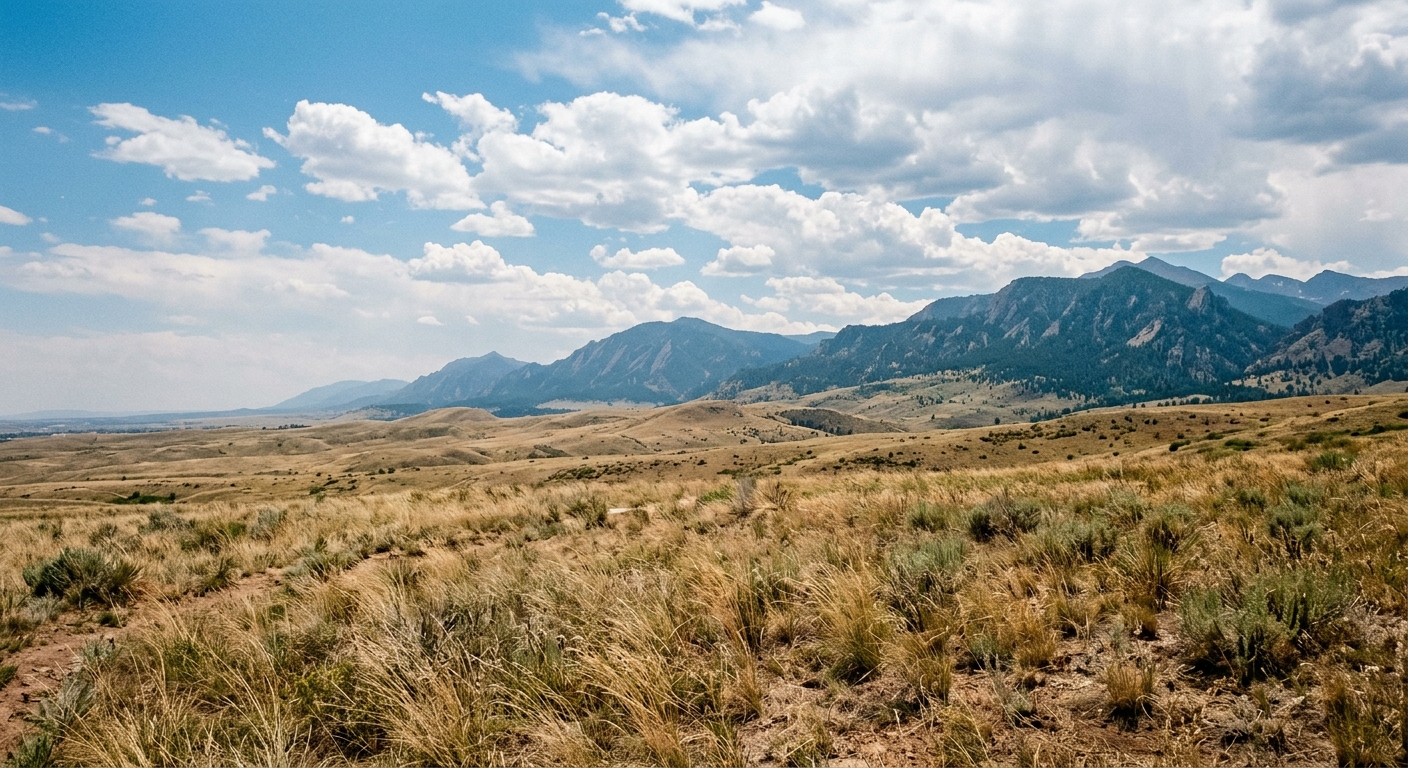
Colorado’s Front Range is bracing for another period of warm conditions as Denver weather turns up the heat this week. High temperatures are expected to soar back into the 90s, accompanied by spotty showers and increasing storm chances, particularly in the higher elevations. Residents across the region should stay alert for ongoing air quality and flood advisories as climate patterns shift toward more seasonal warmth.
Forecast Update: Highs Return to the 90s
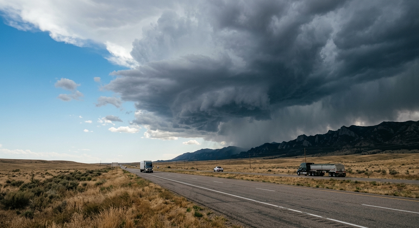
The latest forecast update indicates that temperature highs will be a defining feature through the coming days in Denver and surrounding Front Range communities. Mostly sunny skies with occasional cloud build-up set the stage for light winds, creating pleasant mornings but potentially unstable afternoons. Sporadic spotty showers may develop later in the day, providing slight relief from the heat but also prompting concern in fire-prone areas.
Storm Chances Persist into the Weekend
While Thursday features primarily clear skies, the forecast suggests that storm chances will increase over the weekend. On Friday, Denver weather will continue to see highs climb into the mid-90s, and isolated afternoon storms may develop mainly over the foothills. By Saturday, weekend storms are likely to be more widespread, featuring a blend of sunshine and clouds throughout the day. Sunday brings a jump in storm activity along with more substantial cloud cover and a modest dip in temperatures.
Front Range Weather Warnings: Air Quality and Flash Flood Watches
Authorities have issued air quality alerts across the Front Range as ozone levels exceed recommended thresholds, raising public health concerns particularly for sensitive groups. Individuals with respiratory issues should limit outdoor exertion during peak afternoon hours. Meanwhile, flash flood watches remain in effect near the Aspen Acres burn scar. The combination of recent rainfall and forecasted showers elevates the risk for rapid water runoff and flooding, especially in fire-impacted terrain.
Night Skies: Spotting a Partial Lunar Eclipse
Aside from daytime weather, many in Colorado will also have the chance to witness a cosmic display. Clear skies overnight are expected to provide optimal viewing conditions for a partial lunar eclipse, anticipated to reach peak visibility at approximately 10:12 pm. Mild overnight temperatures in the lower 60s will make for comfortable stargazing opportunities across the Denver metro area and beyond.
Looking Ahead: Early Week Brings Scattered Storms and Milder Days
As residents prepare for ongoing summertime conditions, next week will introduce a gradual cooldown. Scattered storms are possible on Monday, dropping temperature highs to the mid-80s before drier air and seasonably mild weather settle in for Tuesday and Wednesday. These midweek days are forecast to feature abundant sunshine, light breezes, and reduced humidity—offering some respite from the anticipated heatwave.
Staying Prepared Amid Fluctuating Conditions
With summer weather patterns in full effect, residents across Colorado’s Front Range should take proactive steps to stay safe. Monitoring front range weather advisories, heeding air quality alerts, and observing flash flood watches are key to minimizing heat and storm-related risks. Local agencies encourage all to remain vigilant as the region moves through cycles of hot, stormy, and clear conditions in the days ahead.