
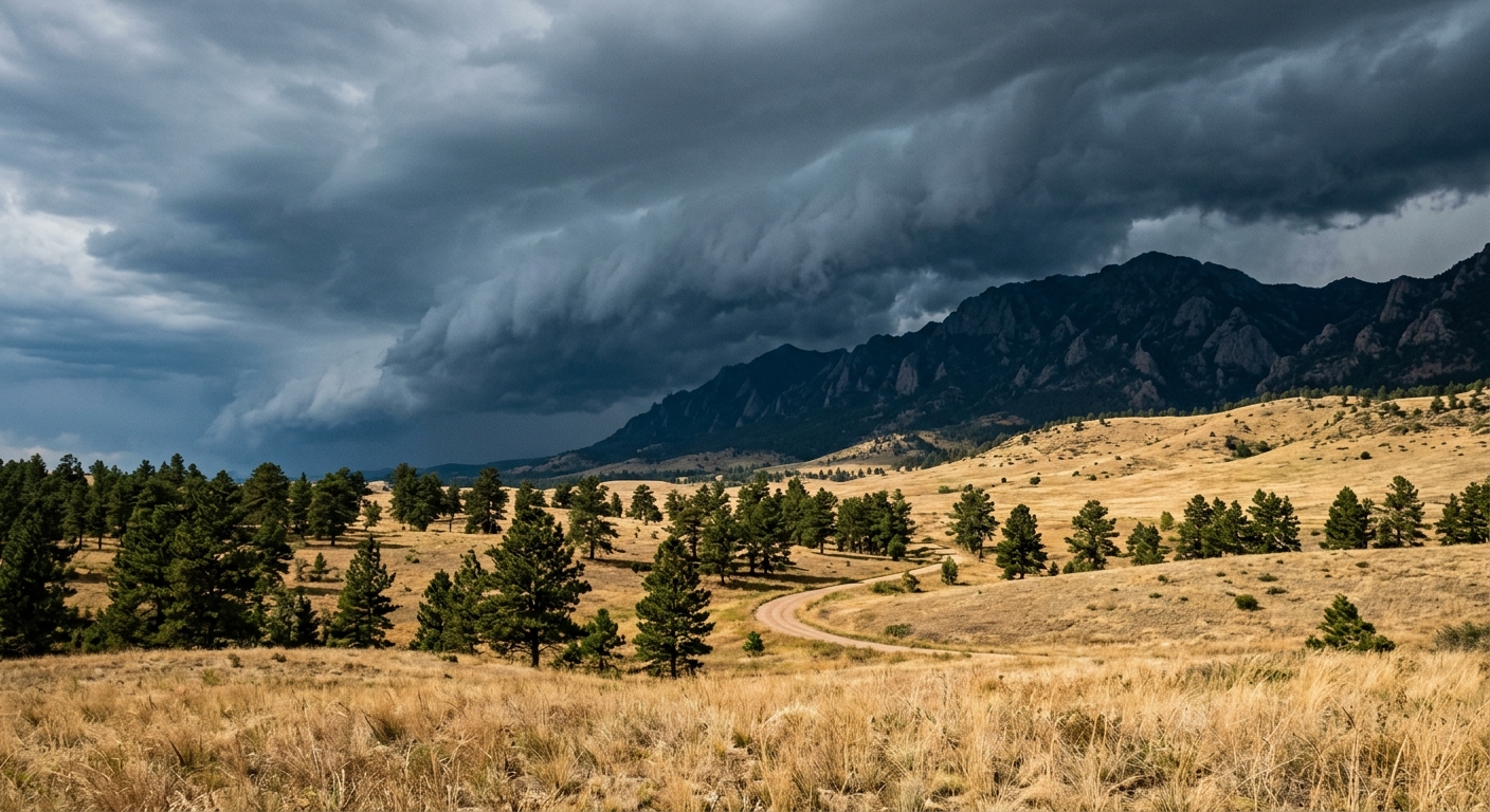
AI-generated illustration; not a photograph of the reported event.
- calendar_today August 12, 2026
Denver Weather: High Heat Strikes Colorado
Colorado residents are experiencing a wave of high temperatures this week as Denver weather reaches the lower 90s by midweek. On Wednesday afternoon, partially cloudy skies dominated much of the city, with conditions ripe for developing showers and evening storms, especially in the mountainous areas. As these storms moved toward the Front Range, they brought the potential for varied and unpredictable weather patterns.
Evening Storms and Severe Weather Risks
Northeastern Colorado remained under a slight risk of severe storms Wednesday evening, where meteorologists warned of the threat of gusty winds and small hail. These severe storms were expected to form over the mountains during the day and move east by the evening, affecting local communities along the Front Range. Residents of the Denver metro and surrounding areas are advised to monitor weather alerts for changing conditions, especially with the heightened risk of inclement weather in certain counties.
Nighttime Relief with Mild Temperatures
After storms pass, the region can expect extra clouds and gradually decreasing winds overnight, providing some respite from the high heat of the day. Overnight lows are forecast to hover in the lower 60s, resulting in relatively mild temperatures for early summer in Colorado. By Thursday, skies are expected to remain partly cloudy, continuing the trend of fluctuating weather as the week progresses.
Persisting Rain Chances: Afternoon Showers and Clouds Ahead
Thursday and Friday bring increased rain chances, with thick clouds rolling in and afternoon showers likely across Denver and much of Colorado. These showers are forecast to hold daytime temperatures to the lower 80s, marking a dip below the seasonal highs the region typically sees. This temperature forecast indicates a mild and wet pattern with spotty rainfall providing vital moisture to both urban and rural communities.
Weekend Forecast: Spotty Showers and Unsettled Skies
Looking ahead to Saturday, Denver will see partly cloudy conditions continue, with off-and-on showers potentially delivering up to an inch of rain overnight. Meteorologists note that, while the rain is expected to be widespread, the heaviest totals may remain scattered throughout the area. Showers are expected to persist into Sunday and Monday, with daytime highs warming into the mid-80s, maintaining a stretch of mild temperatures that contrasts with the previous high heat.
Seasonal Highs and Drier Days Return
By Tuesday, the Denver weather forecast predicts a return to more sunshine and drier conditions. As rain chances diminish, residents can anticipate temperatures rebounding to seasonal highs near 88 degrees. These more typical summer conditions offer a break from the recent stormy and wet period.
Community Preparation and Regional Impact
Local agencies are encouraging residents to remain prepared for fast-changing weather, especially evening storms that could disrupt outdoor plans and commute routes. The unsettled weather pattern underscores the importance of staying updated on daily forecasts and having shelter plans ready, especially when severe storms threaten with robust winds or hailstones. Denver’s various neighborhoods along with communities across Colorado are advised to take precautions during this period of heightened weather variability.
Summary: Variable Weather Sets Tone for Colorado
In summary, Denver weather this week is characterized by rapid shifts from high heat to cool, rainy intervals. With changing temperature forecasts, recurring afternoon showers, and the constant threat of severe storms, locals can expect ongoing adjustment to their daily routines. As always, being attentive to official updates ensures residents remain safe and informed across Colorado’s diverse regions.